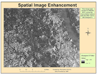
Week 6 of Remote Sensing covered Spatial Enhancement. In this module we covered various methods
used to enhance imagery. The map above is the result of starting with a LandSat
image and using the convolution tool to enhance the image, using the trial and
error method; I finally decided that using the 3x3Sharp5 filter worked best to
remove the striping and still keep the image somewhat identifiable. I am sure that with more experience I could
do a better job, but for now this is the best I could come up with.

No comments:
Post a Comment